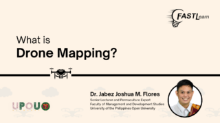
Drone mapping or drones in general provide a unique perspective of the world that
we are not used to.
Because humans, we’re used to analyzing, assessing, or even observing our areas at
the ground level.
So when we are provided with an aerial perspective, we are being exposed to
different types of information that we are not used to.
Now, this type of drone technology has been available since the early 2000s and
even the late 2010s, where new drones are being released almost every year and the
technology is always improving.
Now as the technology improves the more things we see on the ground.
Now when people become aware of what is in our surroundings or in our
environment we will be able to make wise choices and wise decisions regarding how
to interact with our environment and also how to take care of it.
So when people see a drone image or even a drone map or a map generated by a
drone, we will be able to understand more how climate change is impacting us, how
our pollution as humans, in domestic waste, industrial waste, can affect our
respective communities.
